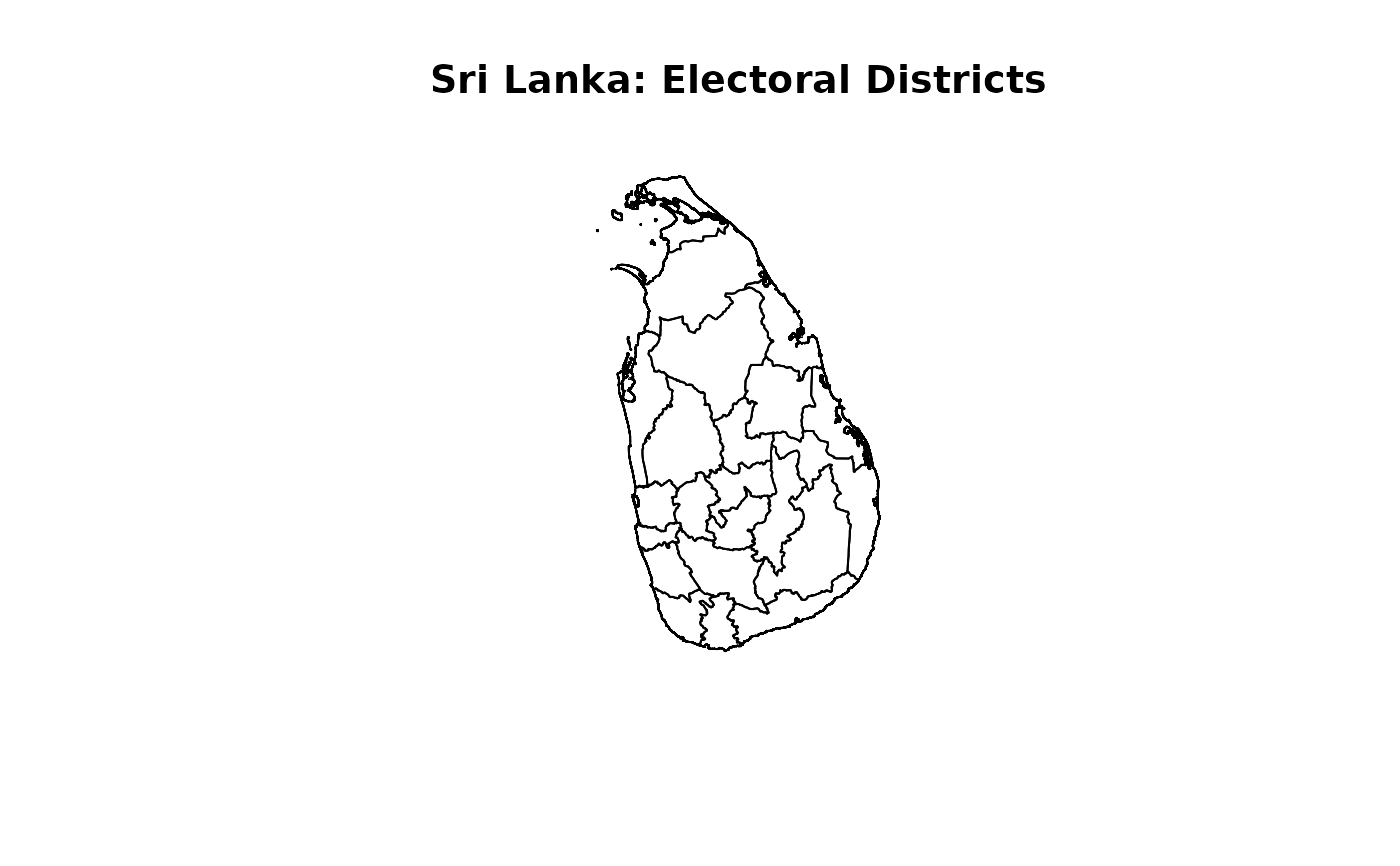
Electoral district boundaries derived from administrative district polygons, with names aligned with the election datasets.
Usage
data(SLElectoralDistricts)Format
An sf data frame with 22 features and two columns.
- District
Electoral district name matching the naming convention used in the election datasets. Capitalisation is preserved.
- geometry
Electoral district polygon geometry derived by merging administrative district polygons. The coordinate reference system is retained from the source dataset.
Details
The layer is derived from SLAdministrativeDistricts. Jaffna and Kilinochchi are merged to form the Jaffna electoral district. Mannar, Mullaitivu, and Vavuniya are merged to form the Vanni electoral district. The remaining districts retain their administrative boundaries.
Internal boundaries between merged administrative districts are removed. The resulting features are ordered to match the electoral district order used during data preparation.
This is a derived spatial layer, rather than an independently supplied official electoral-boundary dataset. Its historical applicability depends on the version of the underlying administrative boundaries.
District can be used to join district-level election results. Select one reporting level before joining to avoid repeating geometries across polling-division, postal-vote, and district-total records.
Examples
if (requireNamespace("sf", quietly = TRUE)) {
  data(SLElectoralDistricts)
  sf::st_drop_geometry(SLElectoralDistricts)
  plot(sf::st_geometry(SLElectoralDistricts),
       main = "Sri Lanka: Electoral Districts")
}