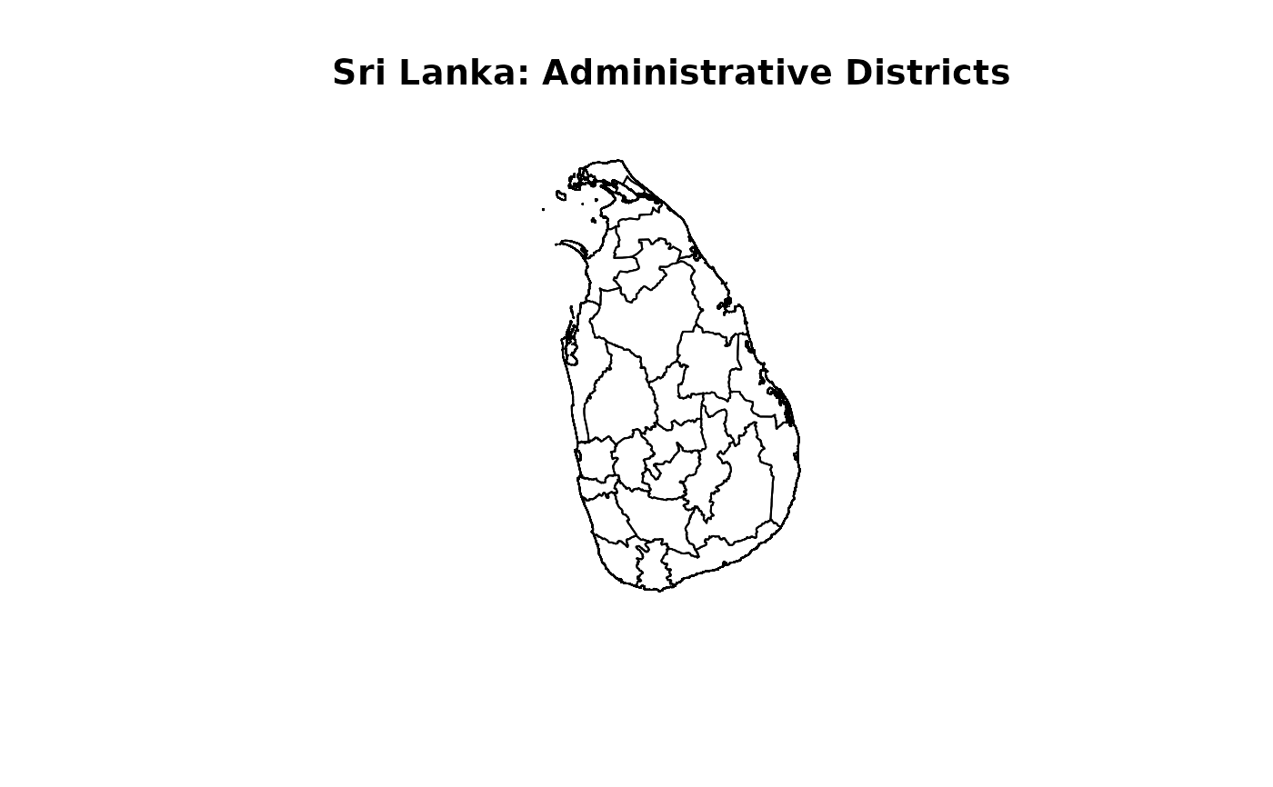
Administrative district boundaries for Sri Lanka, with district labels aligned with the naming convention used in the election datasets.
Usage
data(SLAdministrativeDistricts)Format
An sf data frame with 25 features and four columns.
- SourceID
Administrative district identifier from the source boundary dataset. This is not an electoral district number.
- SourceName
Original administrative district name from the source boundary dataset.
- District
District name aligned with the election datasets. Capitalisation is preserved.
- geometry
Administrative district polygon geometry. The coordinate reference system is retained from the source dataset.
Details
The layer contains 25 administrative districts. Original identifiers and names are retained in SourceID and SourceName.
In District, Ampara is labelled Digamadulla, Kandy is labelled Mahanuwara, Moneragala is labelled Monaragala, and Nuwara Eliya is labelled Nuwara-Eliya. These are label changes; the administrative geometries are unchanged.
Administrative districts differ from electoral districts. Jaffna and Kilinochchi are separate administrative districts. Mannar, Mullaitivu, and Vavuniya are also retained separately.
This layer represents the boundaries supplied by the source dataset. It should not automatically be interpreted as the boundary configuration applicable to every historical election.
Examples
if (requireNamespace("sf", quietly = TRUE)) {
  data(SLAdministrativeDistricts)
  sf::st_drop_geometry(SLAdministrativeDistricts)
  plot(sf::st_geometry(SLAdministrativeDistricts),
       main = "Sri Lanka: Administrative Districts")
}